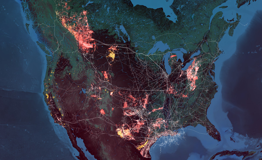
Eye of the Anthropocene is a map-based data visualization that depicts the past decade of wildfire events in Canada and the United States. Through a removed perspective, wildfire data recorded by NASA satellites is animated to reveal the cumulative impacts of these climate driven events. Wildfire behavior is juxtaposed with infrastructure data for petroleum pipelines, extraction wells, and gas flares observed by the same satellites.
Data Sources: NASA, NARR, Environment Canada, US Department of Homeland Security
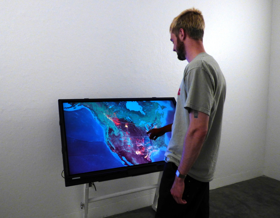
Eye of the Anthropocene, Interactive Touchscreen Display